blah blah blah
Greeley Ponds
Length: 4.4 miles out-and-backDifficulty (click for info): Easy
Elevation Gain: 350 feet (-100 feet)
Rating (click for info): 6/10
Elevation: 2245' (Upper) and 2180' (Lower)
Driving Directions:
Trailhead and parking area are on the Kancamagus Highway in Lincoln, NH (Ponds are in Livermore), 9.7 miles from Rt. 93. The parking area is on the south side of the road, marked by a sign for Greeley Ponds Trail.
About the Hike:
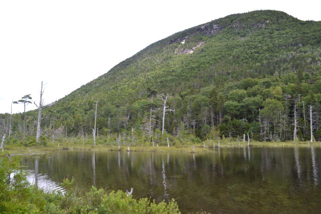
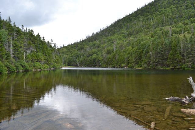
The Greeley Ponds are the source of the Mad River. They are located in Mad River Notch, between East Osceola and Mt. Kancamagus. An easy hiking trail leads from the Kancamagus Highway to the Greeley Ponds Scenic Area. Both ponds are very peaceful. They are a great place for a picnic, as there are many viewpoints of the ponds with rocky mountain backdrops.
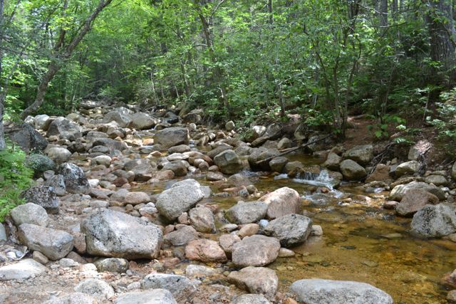
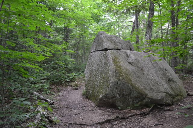
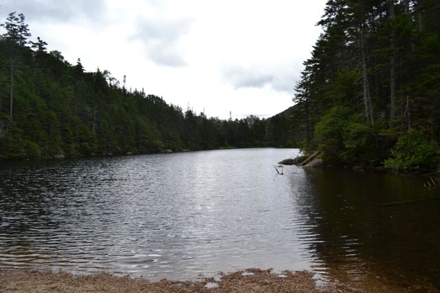
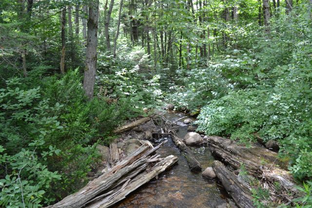
At the beginning of the trail, there is a brook crossing, which could be difficult in high water. The trail leads through the forest, with minor inclines along the way. There are a few boardwalks over wet areas. At 1.3 miles, the trail passes a large boulder and a trail leading up to East Osceola. Just after this, cross Greeley Ponds Ski Trail, marked with blue diamonds. At Upper Greeley Pond, follow a spur trail down to a small beach. From the beach is a beautiful view of the pond with the mountains on both sides. The trail continues down to the south side, where there is a spur to another viewpoint at the tiny beginning of the Mad River.
The trail travels a short distance through the woods to another small beach on Lower Greeley Pond, from which there is an even better view of Mt. Kancamagus and a good look at some cliffs on East Osceola. The north end of this pond is a small bog. There is also a viewpoint on the south side of the pond. After this, the trail leaves the ponds and continues to its other end in Waterville Valley, so the hike ends here.
Printable directions page